Self-guided route
Route at a glance
- Distance
- About 1.6 km
- Travel time
- 25–30 minutes
- Allow
- 75–90 minutes
Accessibility: The route remains outdoors and at street level, but narrow pavements, kerbs, uneven paving, temporary works and street furniture can affect step-free travel. The interior of Torres de Serranos is not included because access requires stairs and there is no lift. Check live conditions before setting out.
- 01
Torres de Serranos
Plaça dels Furs / Carrer de la Blanqueria
Begin outside the medieval gate. Use the open space to read the boundary between monument, traffic and the tighter street network you are about to enter.
- 02
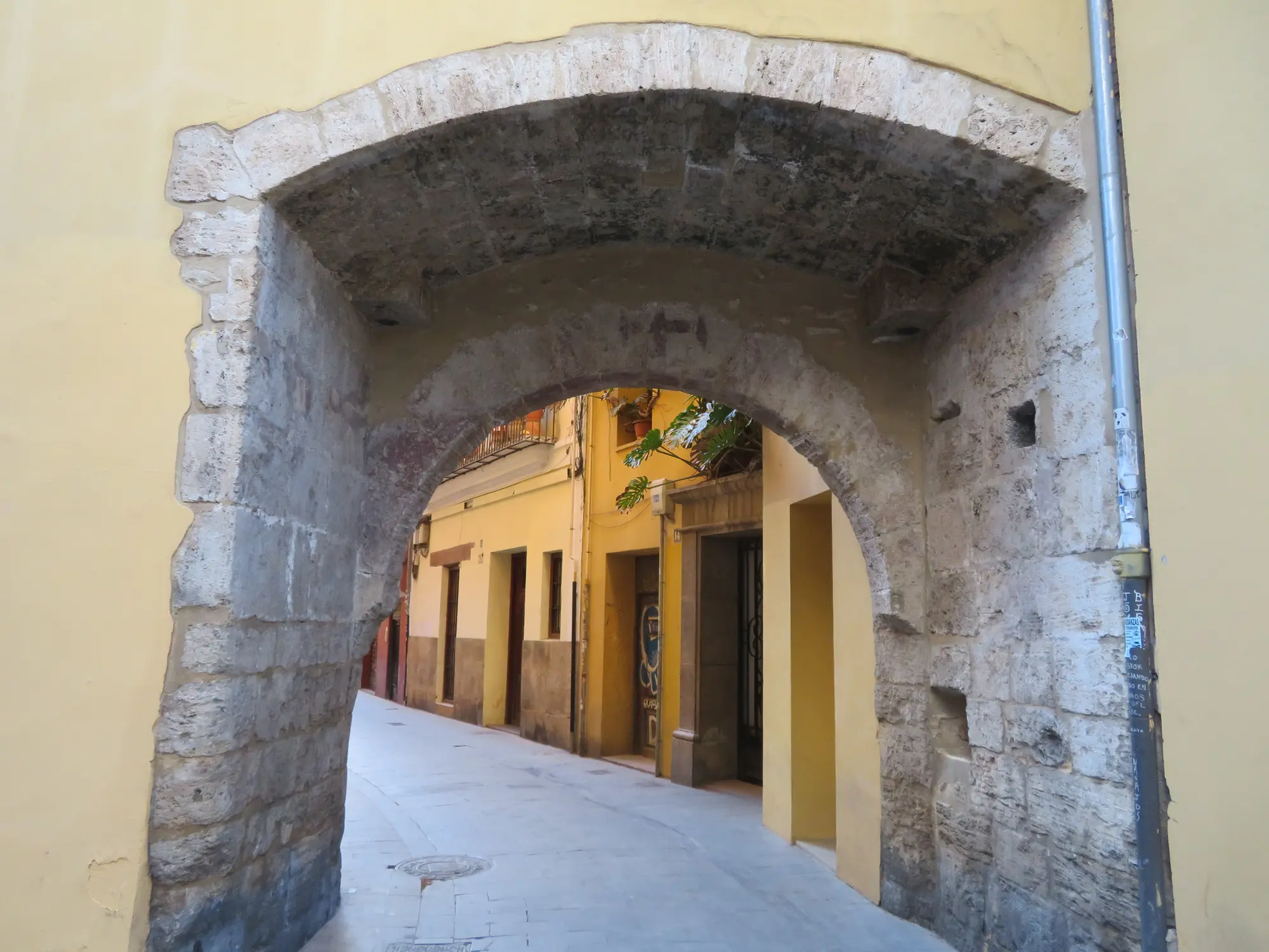
Portal de la Valldigna
Carrer del Portal de Valldigna
Move into the smaller-scale fabric of El Carmen. Compare interventions with stone, shutters, repairs and the narrow sightlines around the historic portal.
- 03
Plaça del Tossal and Carrer de Dalt
Plaça del Tossal / Carrer de Dalt
Slow down where open square and narrow street meet. Look for changes in scale, recurring figures, lettering and the ways works respond to corners and shopfronts.
- 04
Carrer de Moret
Carrer de Moret — Calle de los Colores
Read the street as an evolving collaborative project rather than a single frozen mural. Its painted surfaces have changed repeatedly since the initiative began in 2014.
- 05
Centre del Carme Cultura Contemporània
Carrer del Museu, 2
Pause outside the cultural centre and consider how street practice enters institutional history. The 2025 PRINCIPIOS exhibition documented ten Valencia-linked urban-art practices.
- 06
IVAM exterior
Carrer de Guillem de Castro, 118
Finish at the museum perimeter. IVAM documented Escif’s Comentario del solar here in 2017; treat that record as historical context, not a promise that the wall is unchanged today.
What this route promises—and what it cannot
This is an independently navigable editorial route, desk-checked on 30 September 2026. It connects stable landmarks through streets where urban art has been repeatedly documented; it does not promise that a particular mural, paste-up or shutter will still look like an older photograph.
Use the six stops as anchors and let the walls between them provide the discovery. The live map may adjust the precise path according to current walking conditions, so distance and timing are approximate.
Why start at Torres de Serranos
Torres de Serranos gives the walk a clear northern threshold and is also the starting point used by Turisme Comunitat Valenciana for its guided urban-art experience in El Carmen. Stay outside: the route is designed around the surrounding streets, not entry to the monument.
Before moving on, notice the difference between the broad view from Plaça dels Furs and the compressed views inside the neighbourhood. That shift in scale changes how quickly small characters, tags and pasted works become visible.
 VSA / Archive image
The dense middle: Portal, Tossal and Carrer de Dalt
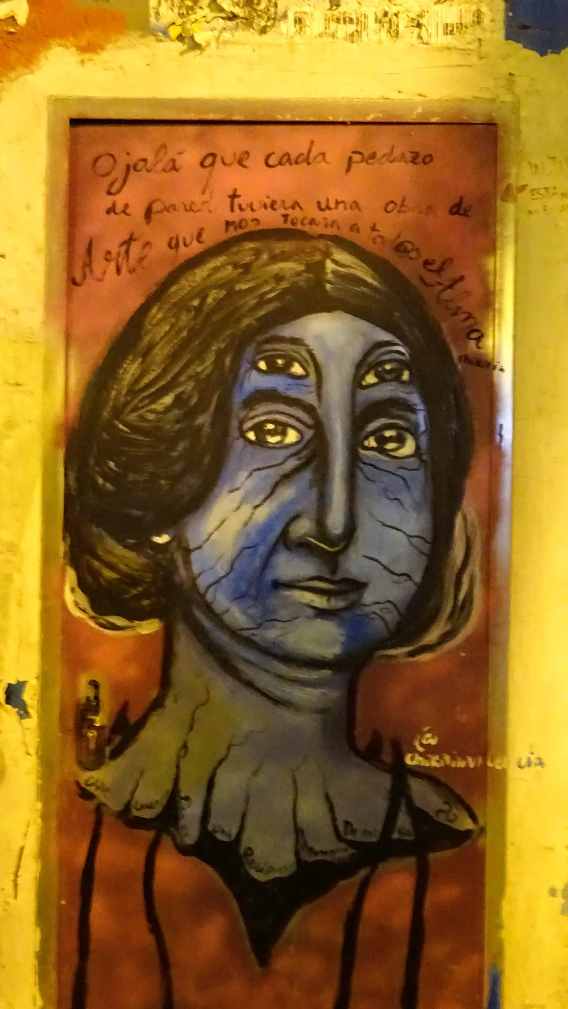
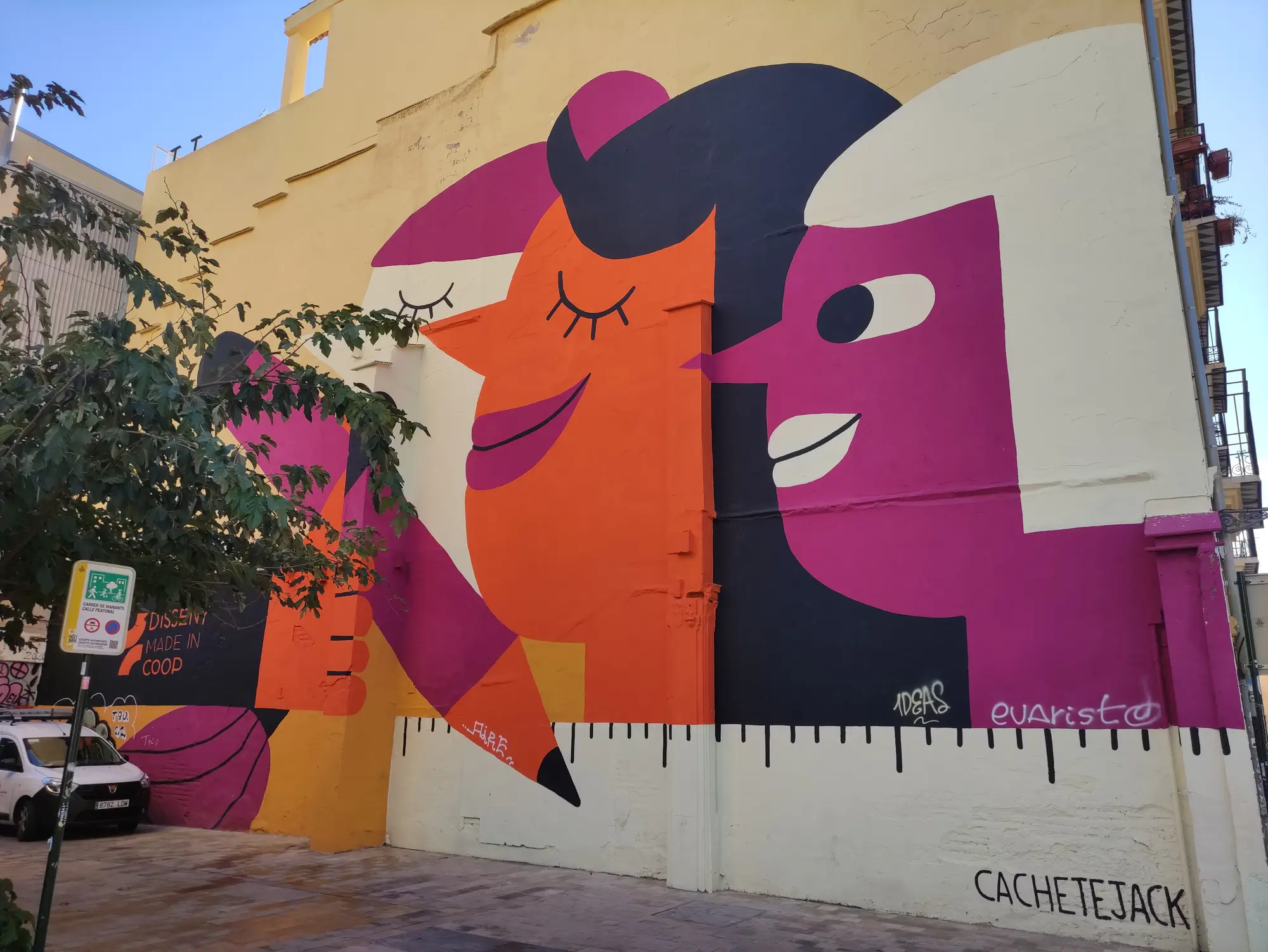
Around Portal de la Valldigna, Plaça del Tossal and Carrer de Dalt, the useful unit is not one destination wall but a sequence of surfaces. Compare a large painted elevation with a small intervention placed beside a pipe, lintel or shutter. Placement can carry as much meaning as the image itself.
This is also where recognition can become overconfidence. A familiar colour, eye shape or cartoon outline is only a clue. Photograph a signature or wider context and verify it later through the artist profiles rather than assigning a name on resemblance alone.
 VSA / Archive image
Carrer de Moret: read a project through change
Carrer de Moret—often called Calle de los Colores—became a coordinated painted street in 2014. The intervention extends for more than sixty metres, but its value is not one definitive composition: façades are repainted and the visual sequence evolves.
Walk once for the overall rhythm, then return your attention to joins between neighbouring façades. Notice where styles cooperate, interrupt one another or adapt to doors, windows and street furniture.
 VSA / Archive image
From Centre del Carme to IVAM
The final section places street practice beside two cultural institutions. Centre del Carme’s address on Carrer del Museu gives the route a stable checkpoint, while its 2025 PRINCIPIOS exhibition offers a dated record of ten artists connected to the development of Valencia’s urban-art scene.
At IVAM, the documented reference is Escif’s 2017 Comentario del solar. The museum record establishes that work and its context; it does not establish the wall’s present condition. That distinction—between archival evidence and what is visible now—is central to responsible street-art documentation.
Three passes through the same street
On the first pass, look at architecture: scale, materials, entrances and lines of movement. On the second, look for visual systems: repeated characters, lettering, colour and technique. On the third, collect evidence only for the works you want to investigate: a wide view, a detail, the date and the street.
This method keeps the walk enjoyable while separating observation from attribution. It also leaves you with a useful record if the wall changes after your visit.
Shorter and slower versions
For a shorter visit, finish at Centre del Carme after stop five. For a slower route, keep the same six stops but allow time to cross a street, step back safely and revisit a surface from a second angle rather than adding distant landmarks.
Do not try to complete this route and El Cabanyal or the full Abstracte project in the same short session. Each area rewards a different pace and a different relationship between art and architecture.
Accessibility and respectful use
The itinerary stays outdoors, but street-level does not mean barrier-free. Narrow pavements, dropped kerbs, uneven paving, delivery activity, roadworks and temporary street furniture can alter the route. Torres de Serranos itself has stairs and no lift, which is why this guide begins outside and does not include its interior.
El Carmen is a lived neighbourhood. Keep doorways and pavements clear, avoid photographing residents as background scenery, and never enter private property for a better angle. If conditions make a stop uncomfortable or inaccessible, skip it and use the live map to continue to the next landmark.
Field note: Choose stable landmarks, let the work between them remain a discovery and record what you actually see. The best route is one that still makes sense after the walls change.
Method and sources
- Turisme Comunitat Valenciana: Urban art in Valencia: an open-air museum (opens in a new tab)
- Ajuntament de València: Torres de Serranos: location and accessibility (opens in a new tab)
- Centre del Carme Cultura Contemporània: Centre del Carme: address and visitor information (opens in a new tab)
- Street Artwork: Street Art in El Carmen: 2026 guide (opens in a new tab)
- Ajuntament de València: Official El Carme neighbourhood map (opens in a new tab)
- Centre del Carme Cultura Contemporània: PRINCIPIOS exhibition, 2025 (opens in a new tab)
- Institut Valencià d’Art Modern: Escif intervention at IVAM (opens in a new tab)
- Valencia Street Art: Valencia Street Art editorial policy
Related reading
Continue exploring
Portal de la Valldigna, El Carme · Wikimedia Commons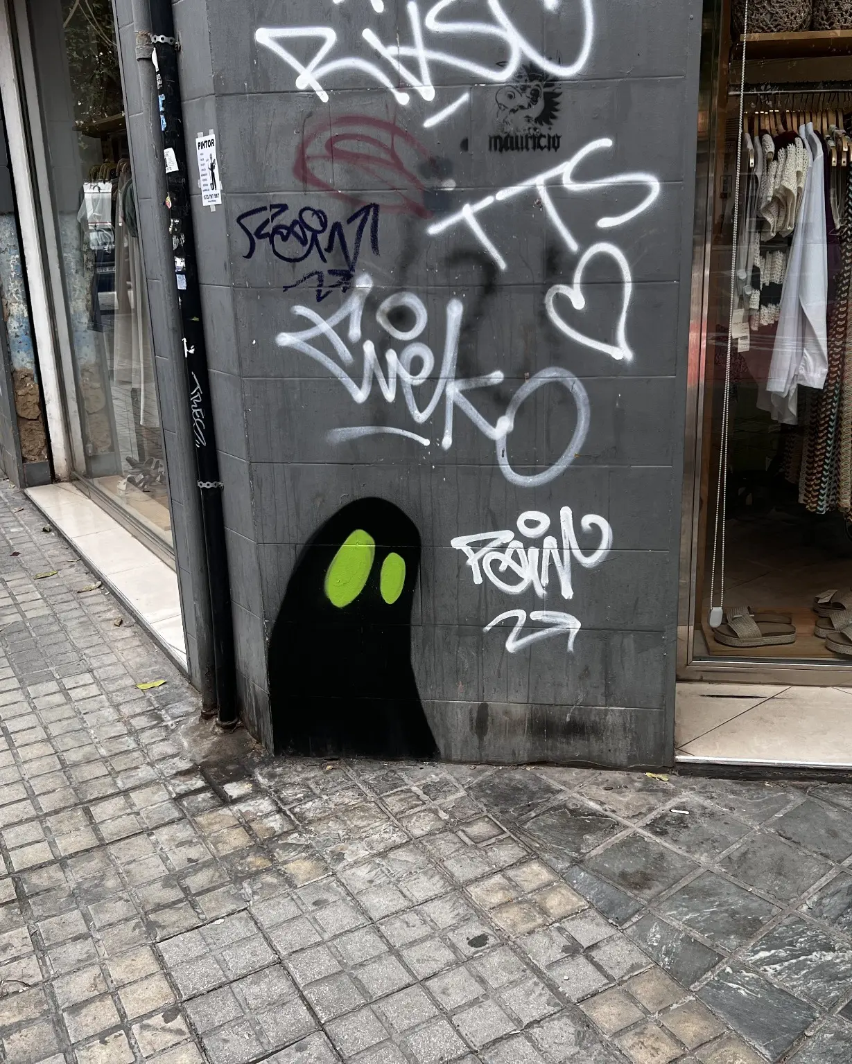 Work by La So0mbra · Official La So0mbra website
 Work by David de Limón · Official David de Limón website
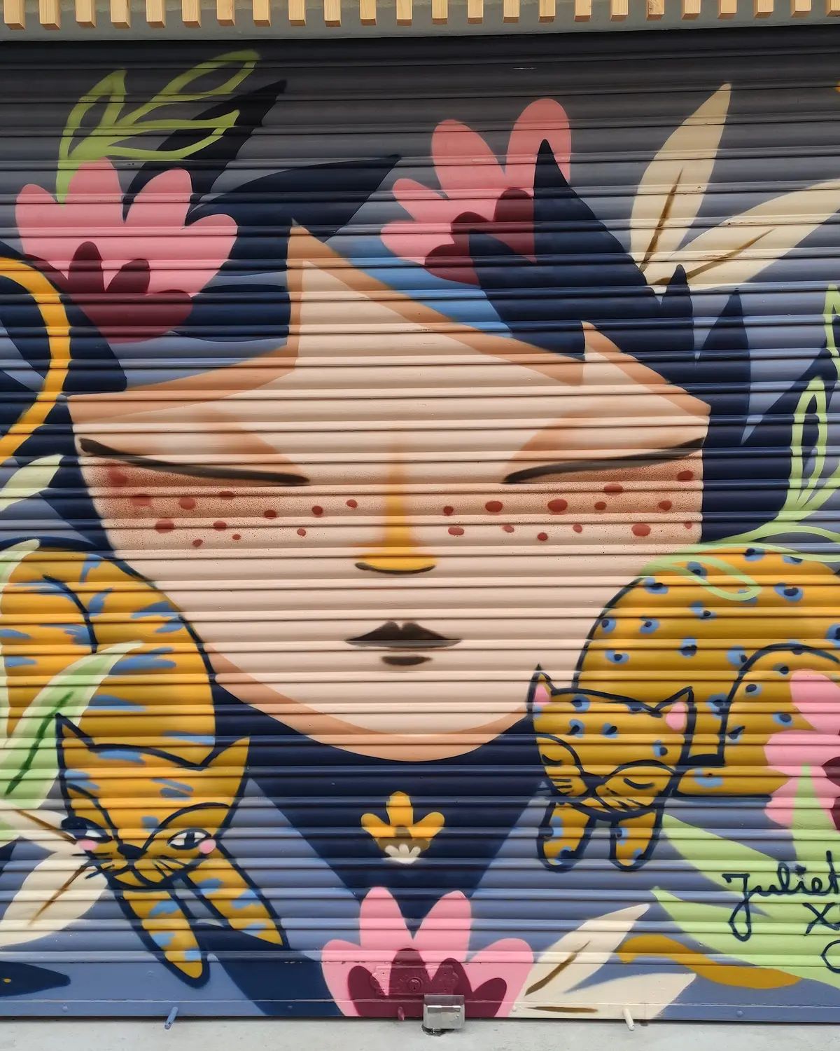 Work by Julieta XLF · Wikimedia Commons
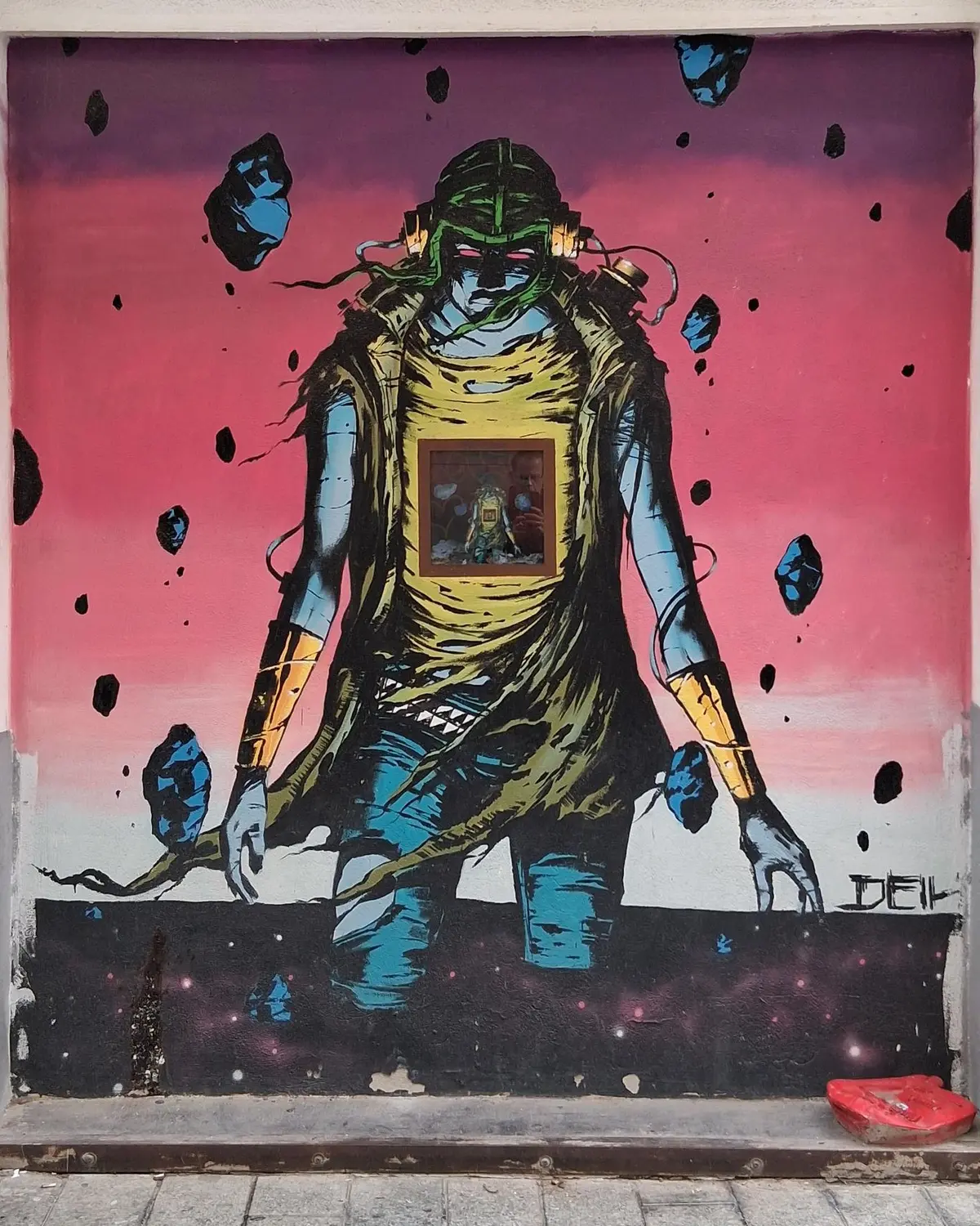 Work by Deih · Street Art Cities
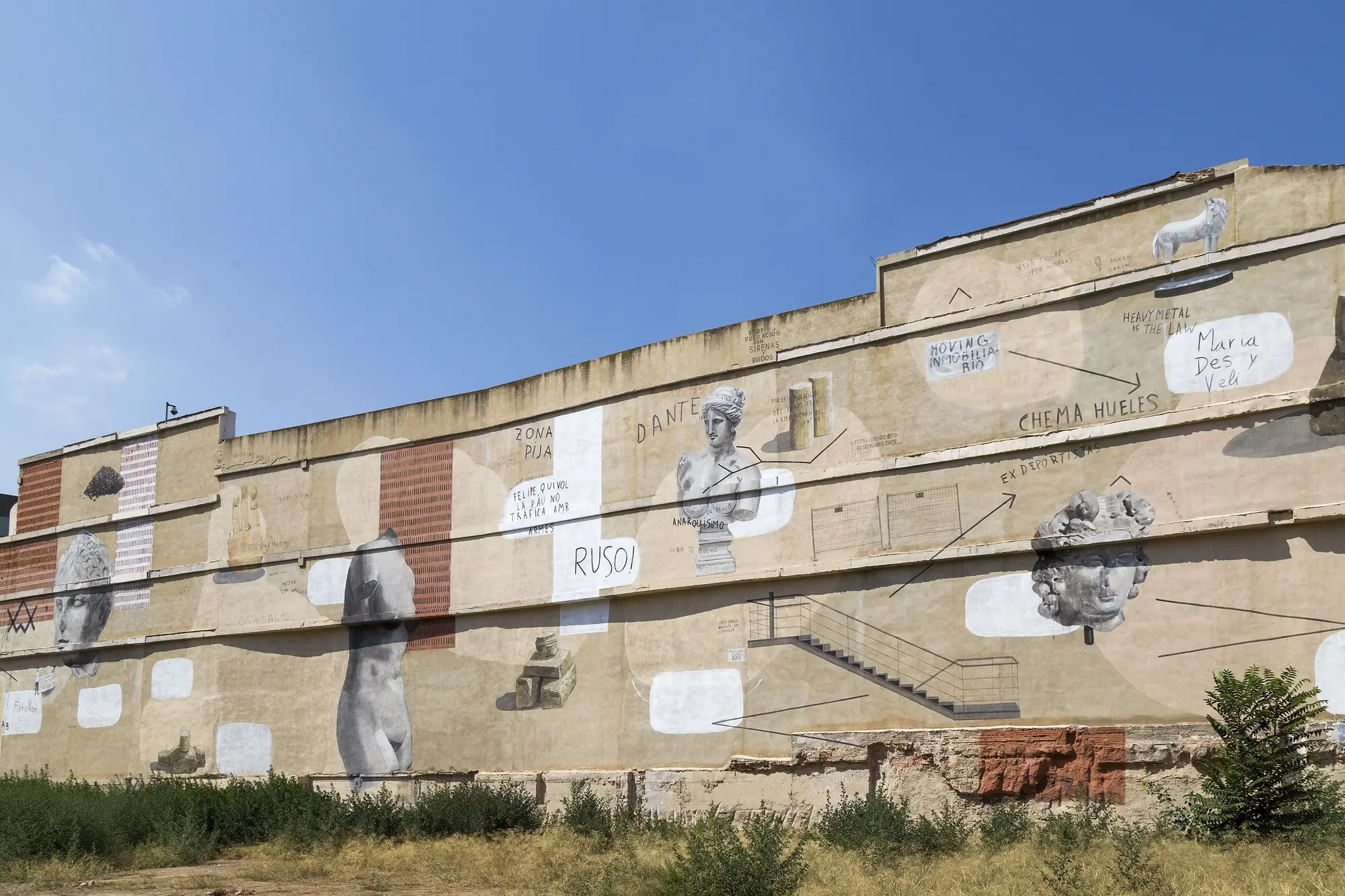 Work by Escif · Wikimedia Commons · IVAMWork by Cachetejack · Wikimedia CommonsWork by Chikitín · Wikimedia Commons
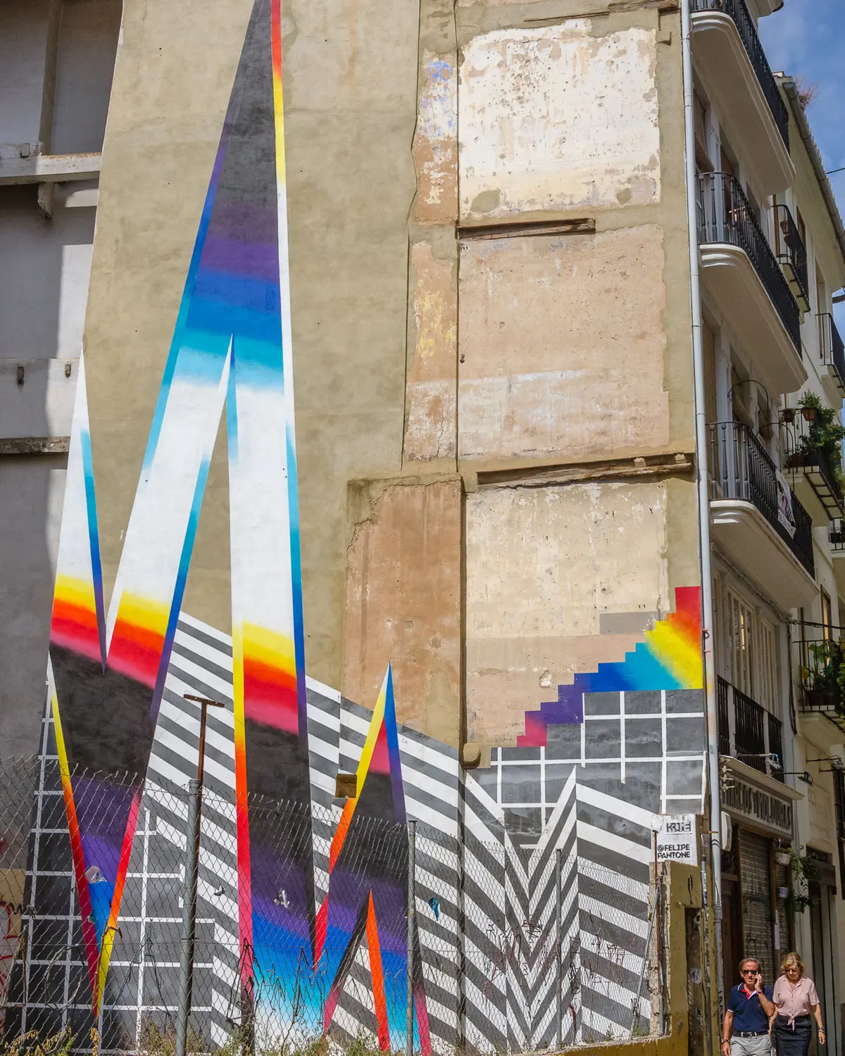 Work by Felipe Pantone · Street Art Cities
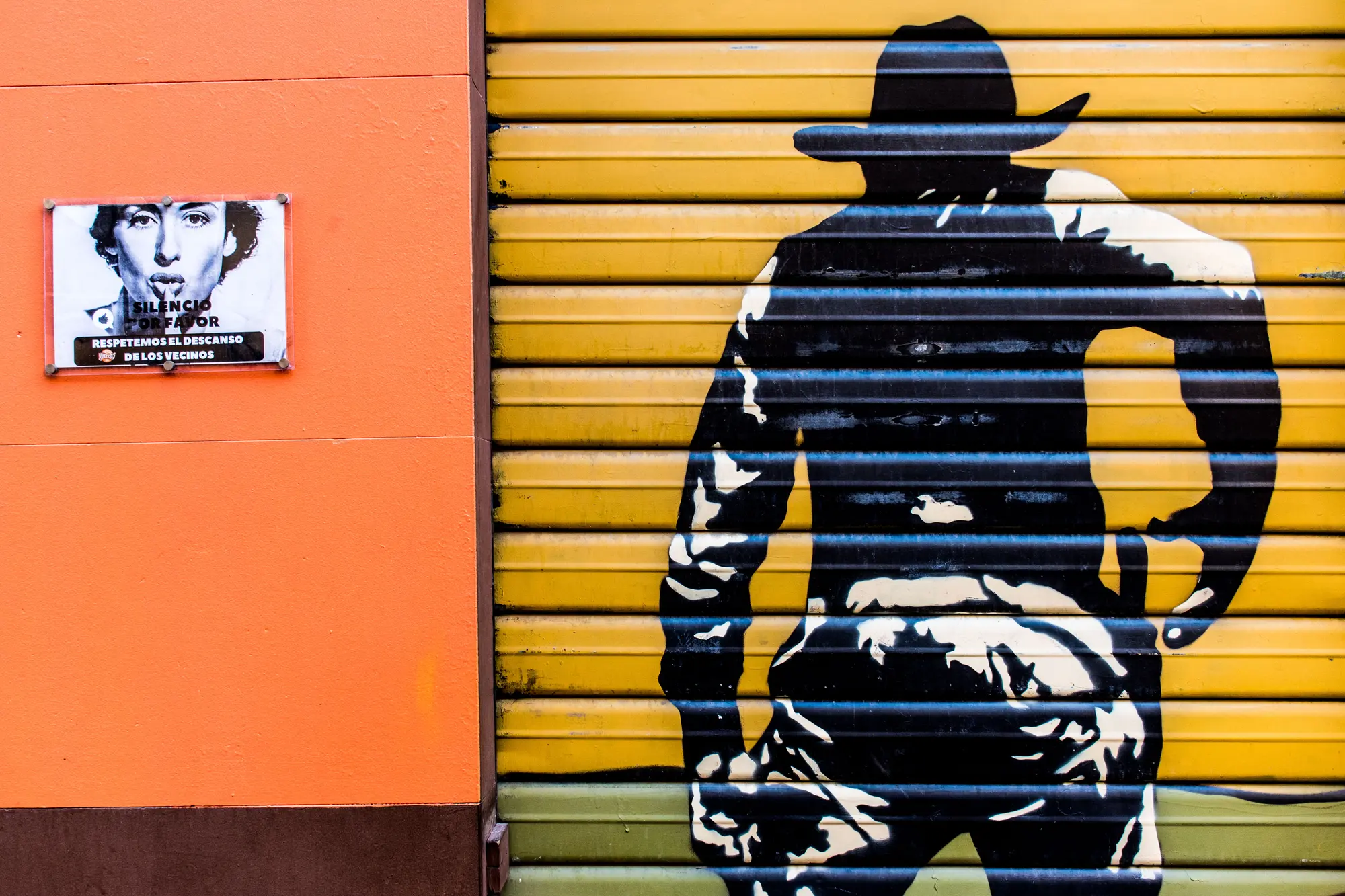 Don’t shoot. People are sleeping! · Wikimedia Commons
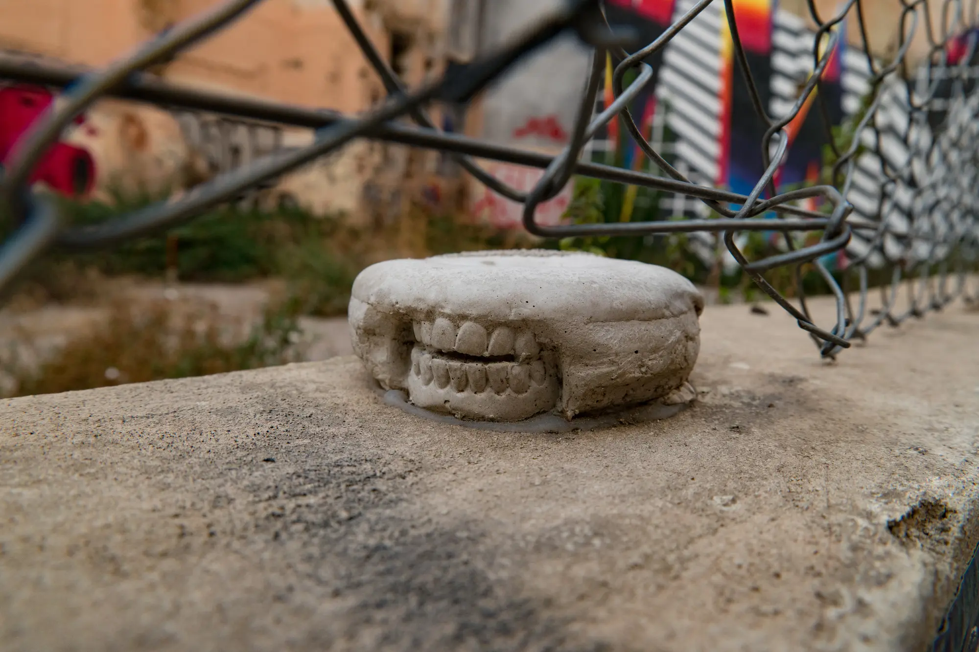 Valencia Spain Street Art · Wikimedia Commons
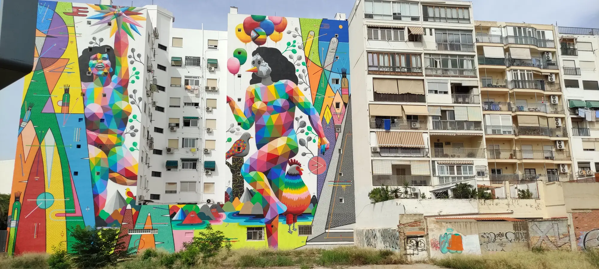 Work by Okuda San Miguel · Wikimedia Commons